Menu
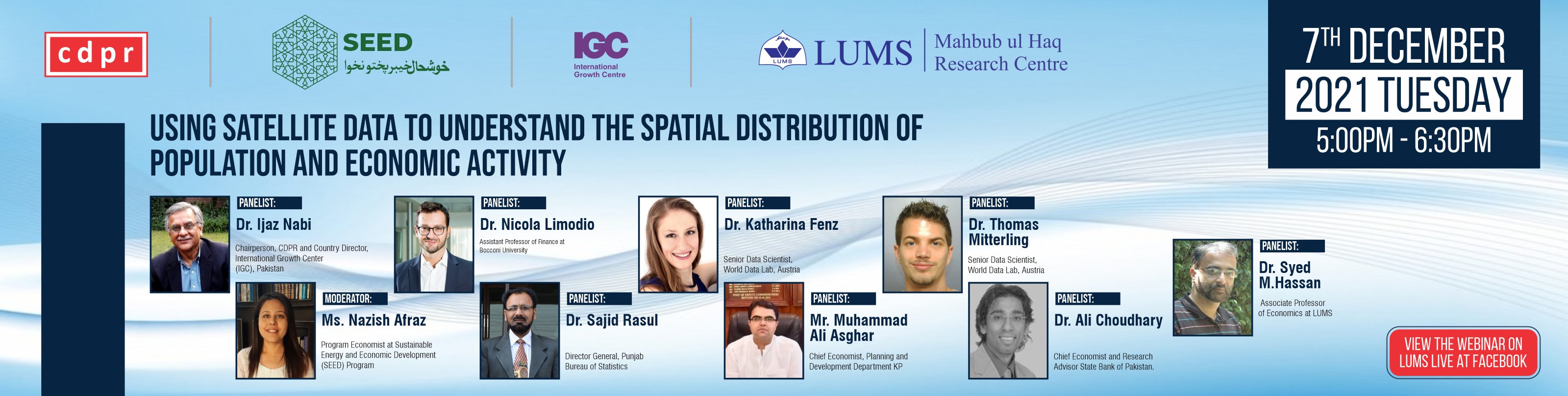
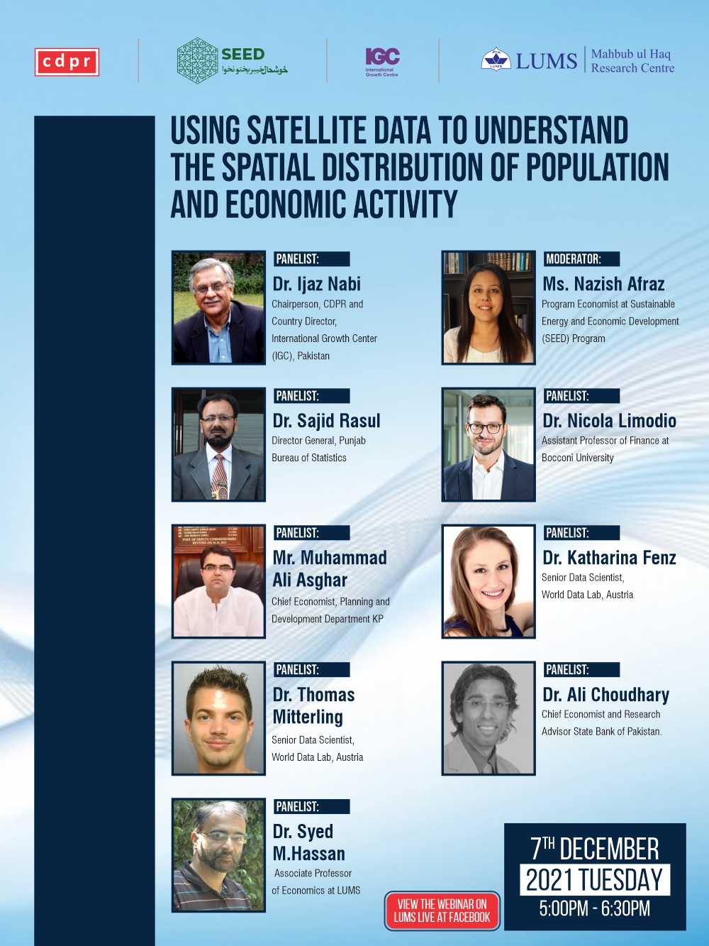
The Consortium for Development Policy Research (CDPR) in collaboration with Sustainable Energy and Economic Development (SEED) program, Mahbub Ul Haq Research Centre (MHRC), and International Growth Centre (IGC) held a webinar on “Using Satellite Data to Understand the Spatial Distribution of Population and Economic Activity” that took place on Tuesday, December 7th , from 5:00pm – 6:30pm (PST).
The webinar explored how real-time data from various sources that include geo-spatial data and night lights data as well as other big data sources such as call detail records (CDR) can be used to estimate economic indicators and outcomes such as GDP and poverty.
The discussion at this webinar aimed at responding to the following questions:
1. To what extent can such data substitute for traditional survey-based modes of data collection? How accurate and reliable is it? What are the ways it can or cannot be used?
2. How can the Government of Pakistan use and extend this work for policy making and public investment planning?
3. How do you see the process of institutionalizing the use of this data and leveraging complementarities between this type of data and traditional survey-based data?
The panel included the following:
- Dr. Ijaz Nabi (Chairperson, CDPR and Country Director, IGC Pakistan)
- Dr. Syed M. Hasan (Associate Professor of Economics at LUMS)
- Dr. Nicola Limodio (Assistant Professor of Finance at Bocconi University)
- Dr. Ali Choudhary (Chief Economist and Research Advisor State Bank of Pakistan)
- Dr. Katharina Fenz (Lead Data Scientist at World Data Lab)
- Dr. Thomas Mitterling (Lead Data Scientist at World Data Lab)
- Dr. Sajid Rasul (Director General, Punjab Bureau of Statistics)
- Mr. Muhammad Ali Asghar (Chief Economist, Planning & Development Department KP)
- Moderator: Ms. Nazish Afraz (Program Economist at SEED)
The panel discussion will be followed by a Q&A session with the audience.